Jockey’s Trail: New hiking route from Nags Head to Virginia border established
Published 4:50 pm Wednesday, March 29, 2023
|
Getting your Trinity Audio player ready...
|
According to a recent Outdoor Foundation report, hiking remains one of the most popular of all outdoor activities, with more than 58 million Americans participating in some type of hiking activity in 2021.
With almost no limit to where someone can go, there is now a new designated trail traversing the northern Outer Banks awaiting any outdoor enthusiast itching to lace up their shoes and get out of the house.
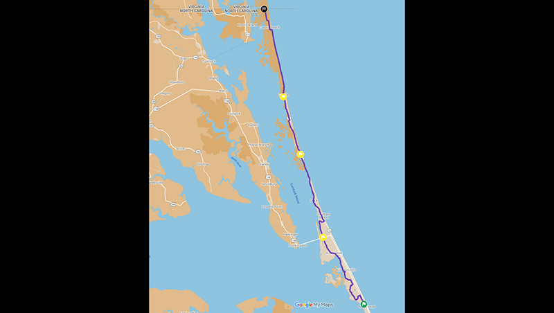
In line with North Carolina declaring 2023 as the year of the trail, it was Kill Devil Hills resident Luke Halton who established Jockey’s Trail, a new 50-mile hiking trail route extending from Jockey’s Ridge State Park up to the North Carolina and Virginia state line at Carova.
The idea for the trial came to Halton in 2021 after hiking more than 2,000 miles. He saw COVID lock-downs as an opportunity to do some thru-hiking, the act of hiking an established long-distance trail end-to-end continuously.
“Why be locked up inside when you can be outside,” he said.
Traveling more than 600 miles on the Mountains-to-Sea State Trail here in North Carolina, Halton then walked across Ireland, followed by a trip to Madrid where he completed the Camino de Santiago, also known as the Way of St. James, which is a renowned network of paths all leading pilgrims to the city of Santiago de Compostela in Galicia in the northwest of Spain.
“After the Mountains-to-Sea State Trail,” Halton explains, “just for the fun of it I decided to hike from Jockey’s Ridge to Corolla. I decided to go border to border.”
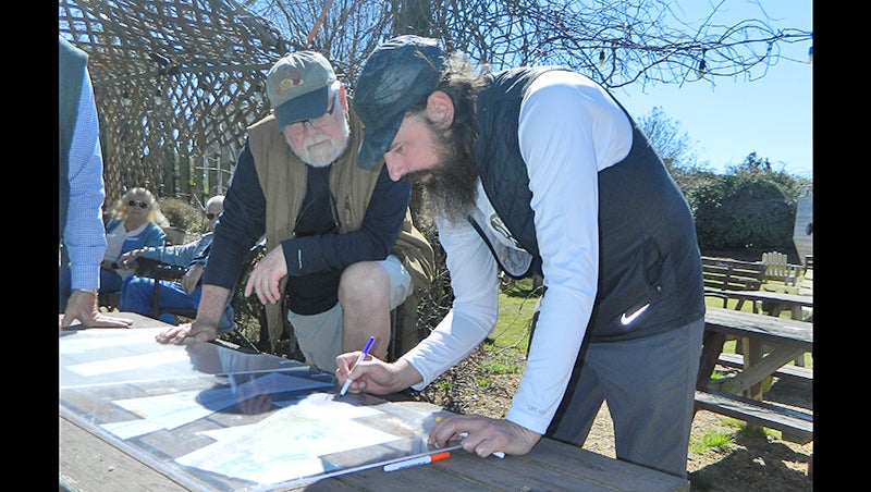
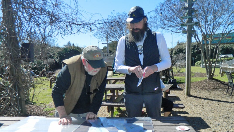
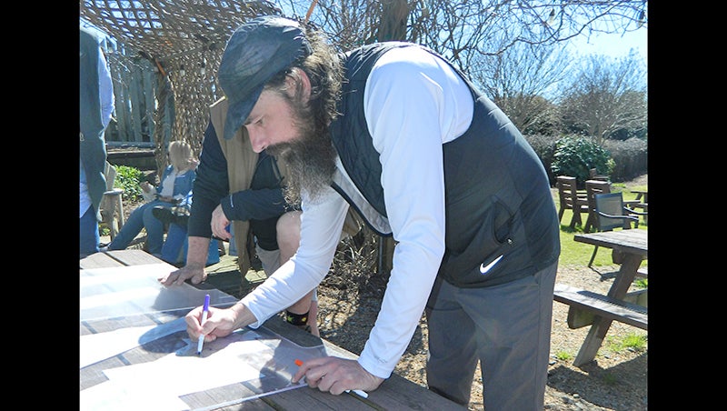
Armed with what he called a “cartoon map,” Halton is quick to point out that it is not to scale.
A Carolina resident most of his life, Halton also found the coastal hike to be one of the best.
“After all that hiking,” he explains, “this 50 miles is some of the best hiking out of all those 2,000 miles.”
Although it is a bit of a zigzag course over sand, gravel, several boardwalks, some asphalt and other natural terrain, the route is an easy one to follow.
Currently the only sign posted is at the Outer Banks Brewing Station. But that does not mean hikers are left to wander their way north. A Google map is available and in less than 60 days after publication it has seen more than 2,000 visitors.
“I also partnered with an app called Hiiker from a group based in Ireland,” Halton said. “They have a detailed map down to every step. And they have free GPX downloads which is very handy in areas without phone service.”
Unlike the Mountains-to-Sea State Trail with starting points at each end, Halton’s trek will likely see people prefer to start at the south end since the most northern point is bordered by Back Bay National Wildlife Refuge with more than 9,200 acres of marsh, beaches, dunes, woodlands and farm fields.
Starting at Jockey’s Ridge, the eastern terminal for North Carolina’s Mountains-to-Sea Trail and the longest trail in the state, Halton’s four-day route takes hikers north into and through Nags head Woods Preserve, around the Wright Memorial, along the edge of Kitty Hawk Bay and then across US 158 parallel to Ginguite Creek, up NC 12 through Duck to Corolla on the multi-use path and out on the beach to the northernmost point of Carova to a concrete obelisk that marks the survey point of a 1728 expedition to fix the North Carolina and Virginia border.
An ambitious project, the self-guided trail is the work of Halton who designed the route and The OBX Way, a nonprofit based in Kill Devil Hills. The hike is intended to be accessible, safe and educational, connecting existing community paths over a variety of terrain. Along the way hikers will experience maritime forests, sidewalks and multi-use paths, boardwalks, greenways and a fair stretch of ocean beach.
While some physical training might be advisable, intense thru-hike training and heavy packs are not necessary for the 14, 13, 10 and 13-mile stages. Those planning to take on the entire route as a thru-hike will find hotels, a campground and rental homes available near the designated trail.
A launch event was held at the Outer Banks Brewing Station March 4 with several people there for a brief dedication and posting the route’s only sign.
On hand for the event was Brian Tress, who lives just off part of the trail in Kill Devil Hills.
“Jockey’s Trail is an incredible project,” said Tress. “This is great for visitors and locals. An that’s the great test.”
Tress went on to say from an environmental perspective the trail fits in with existing trails and has low environmental impact. “From a tourism perspective the hike is a great shoulder and off season activity, as well as a peak season activity.”
“It’s an activity that can draw people in all seasons,” he added. “In peak seasons it’s an activity off the beach and away from crowds.”
Tress then pointed out that from an economic perspective the hike can be a free activity.
“It doesn’t cost to be able to just walk,” he continued. “And, the terrain is not rough, so almost anyone can do it, and it’s good for your health. So what are the negatives? There are no negatives, and you rarely find that which makes me excited about it.”
Halton then commented that while there are no immediate plans to post any other signs than the Brewing Station plaque, he would like to but the money is not there yet.
So far Halton has covered the cost of gas to photograph a kayak access or bathroom and other expenses out of his own pocket.
“A lot of time and gas money went into not only checking the trail route itself, but also nearby public services and nearby history locations available,” he explained.
Challenges included establishing the logistics for how and where to make the final trail as user friendly and accessible as possible. That and the OBX Way non-profit paperwork.
The result is a trail where visitors looking for a more meaningful vacation and locals interested in exploring the abundance of wonderful natural places on the Outer Banks up close and on foot can do just that.
Hikers interested in more information about the trail, or the non-profit OBX Way, can visit obxway.org/.
SUBSCRIBE TO THE COASTLAND TIMES TODAY!


