No significant strengthening expected from Tropical Depression 15
Published 6:45 am Tuesday, September 1, 2020
|
Getting your Trinity Audio player ready...
|
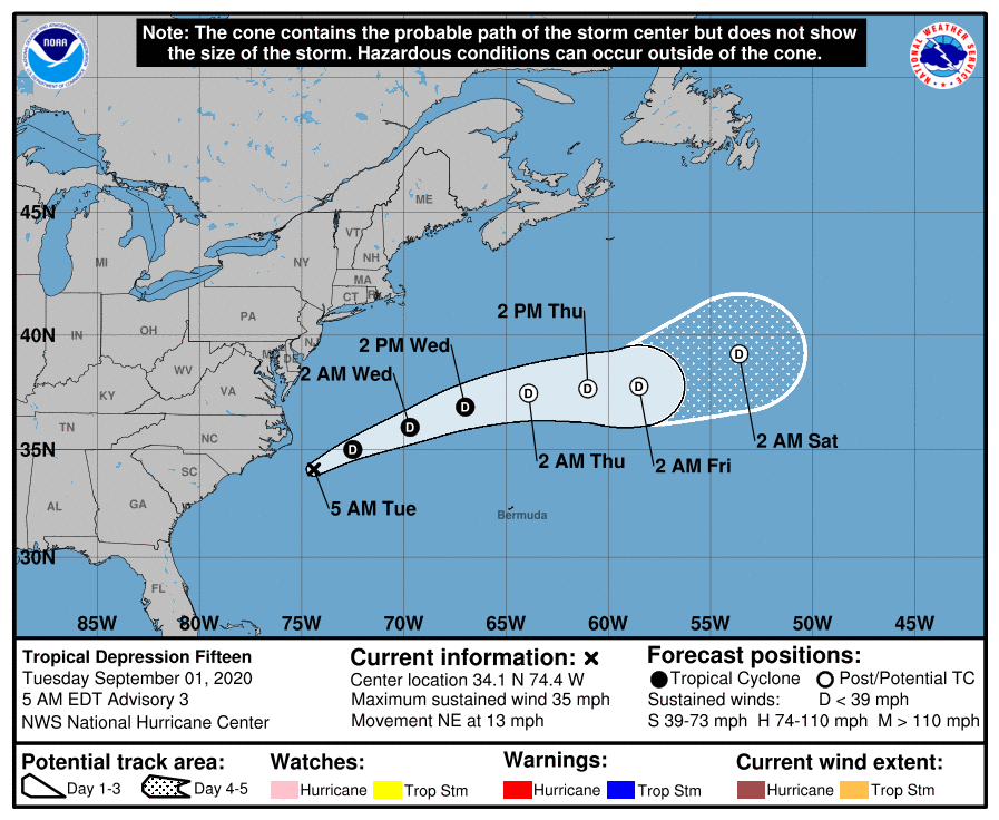
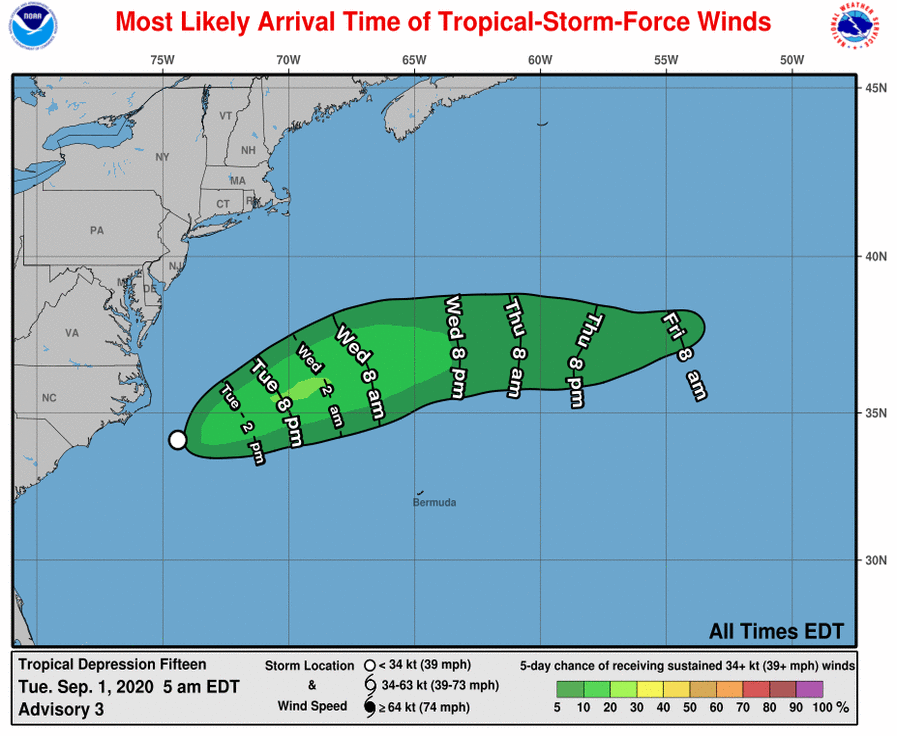
A tropical depression is passing to the southeast of Cape Hatteras, with no significant strengthening expected as it heads out to sea, according to the National Weather Service’s National Hurricane Center.
No coastal watches or warnings are in effect.
At 5 a.m. EDT on Tuesday, September 1, the center of Tropical Depression 15 was located over the western Atlantic Ocean about 100 miles (160 km) southeast of Cape Hatteras. It’s moving toward the northeast near 13 mph (20 km/h).
A turn toward the east-northeast is expected later Tuesday, followed by a turn toward the east by Thursday. On the forecast track, the center of the depression will move away from the North Carolina coast Tuesday.
Maximum sustained winds are near 35 mph (55 km/h) with higher gusts. Although the depression still has a small chance to become a tropical storm later Tuesday, no significant changes in strength are expected during the next couple of days. The system could degenerate into a remnant low by Wednesday night.
Swells generated by the depression will continue to affect portions of the Outer Banks through Tuesday evening, causing potentially life-threatening surf and rip current conditions.
READ ABOUT MORE NEWS AND EVENTS HERE.
RECENT HEADLINES:
Virtual Rodanthe bridge project meeting scheduled for Sept. 3


