New tropical depression forms off North Carolina’s coast
Published 5:55 pm Monday, August 31, 2020
|
Getting your Trinity Audio player ready...
|
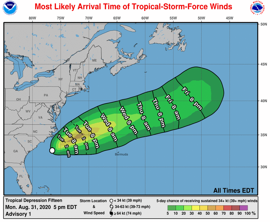
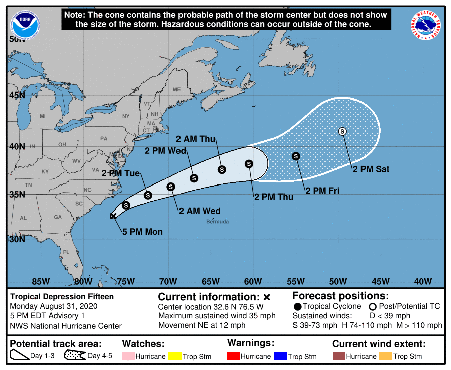
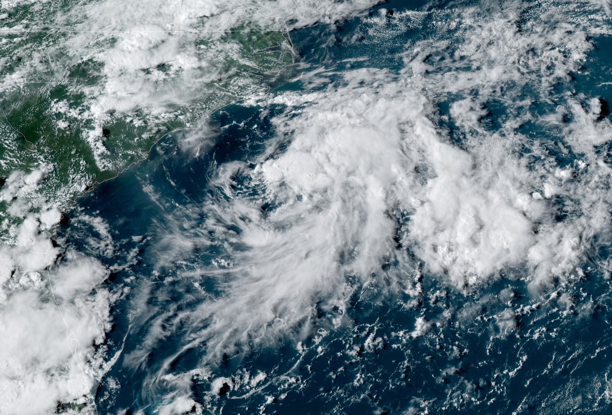
Tropical Depression 15 formed off North Carolina’s coast Monday, August 31 but is not expected to approach land, the U.S National Hurricane Center said.
As of 5 p.m. Monday, the depression had maximum sustained winds of 35 mph (55 km/h) and was about 190 miles (305 kilometers) south-southwest of Cape Hatteras early Monday evening. It was moving northeast — away from the coast — at 12 mph (19 km/h).
The Hurricane Center in Miami predicted it will strengthen into a tropical storm Tuesday, in which case it would be named Nana.
Swells generated by the depression are affecting portions of the coast of North Carolina, especially along the Outer Banks. These swells are likely to cause life-threatening surf and rip current conditions through Tuesday, according to the National Hurricane Center.
Other than increases swells and an elevated rip current risk, the National Weather Service office in Morehead City stated in its 5 p.m. update that no significant impacts are expected for eastern North Carolina.
Residents of Louisiana and Texas were still recovering from Category 4 Hurricane Laura, which hit Thursday with 150 mph (240 kph) winds and a storm surge that officials said was as high as 15 feet (4.5 meters) in some areas.
READ ABOUT MORE NEWS AND EVENTS HERE.
RECENT HEADLINES:
UPDATED: Driver involved in fatal Moyock hit and run comes forward


