Duck looks at flood damage prevention ordinance
Published 10:45 am Tuesday, February 4, 2020
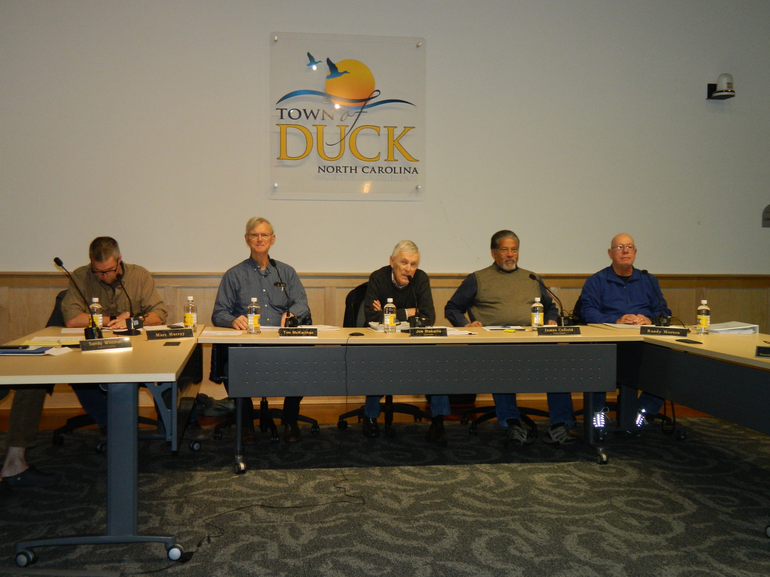
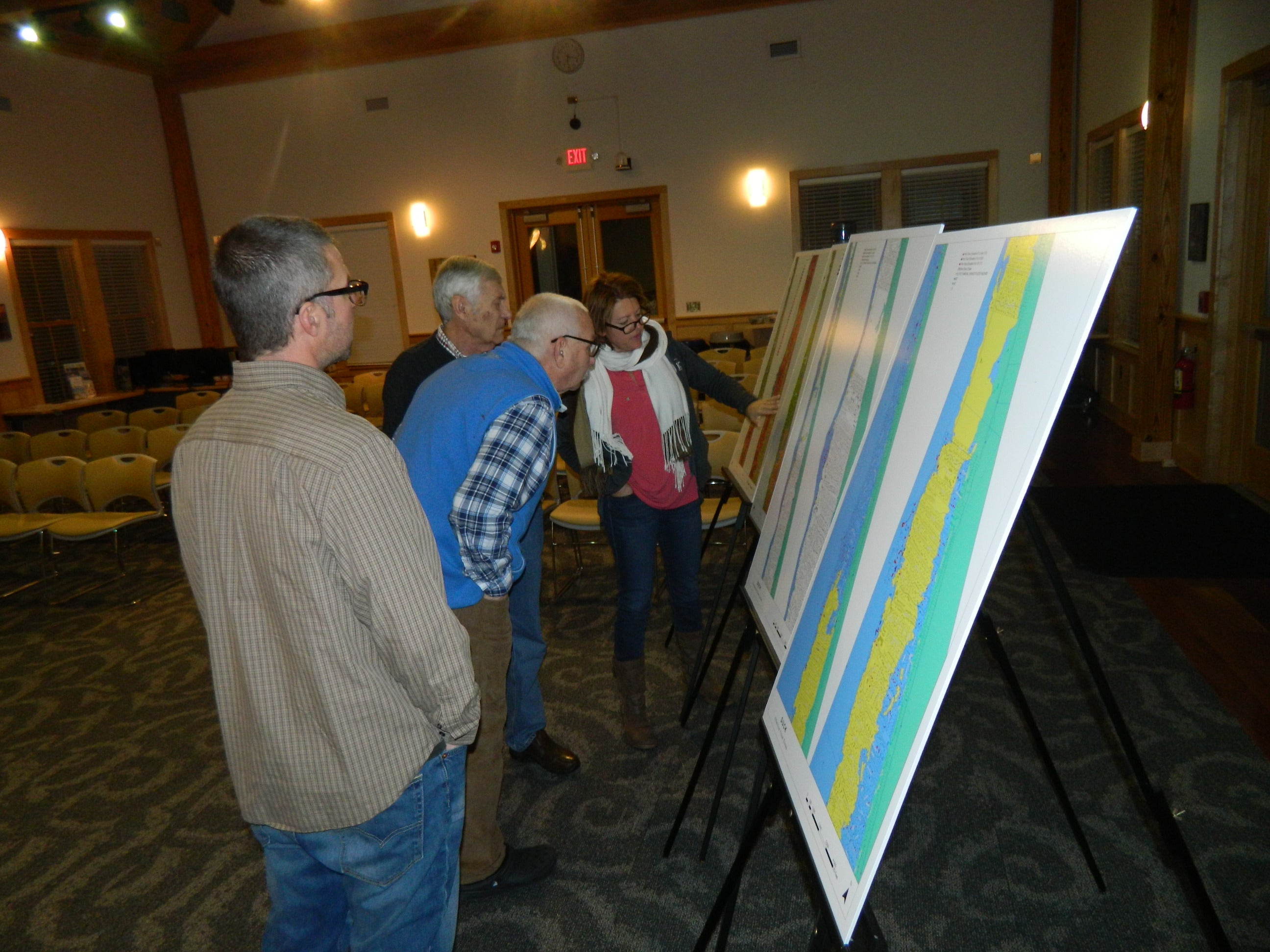
Duck Planning Board members spent the majority of a lengthy January 22 meeting reviewing proposed town code changes related to the recent publication of new, updated county flood maps.
Generally updated every five to 10 years, the Federal Emergency Management Agency and the State of North Carolina released several updated preliminary flood maps for Dare County in June 2016. Following a lengthy review period that allowed for comments and appeals, FEMA issued a Letter of Final Determination this past December, which means the review period has ended.
In order for Duck and any other local jurisdiction to remain in the the National Flood Insurance Program managed by FEMA, federal law requires the new maps and any accompanying flood damage prevention ordinances be adopted within six months of the December letter. That means they must be adopted by the Town of Duck before June 19, 2020.
At Wednesday’s meeting, Duck community development director Joe Heard explained to Planning Board members that during the past 30 months, planners and floodplain managers from Dare County and each of the six Outer Banks towns and have diligently reviewed the ramifications of flood map changes for Dare County.
“They are not perfect,” said Heard, “but to remain in the National Flood program, we will need to adopt them.”
Heard went on to say that the maps for Duck show a significant reduction in the number of properties designated as being located in potential flood areas with the number of structures located in the highest hazard coastal areas decreasing from 397 to 255 and the number of moderate flood zone structures is proposed to decrease from 882 to 187.
He then cautioned that although the figures appear to show a significant number of property owners may benefit from reduced insurance rates and potentially lower development standards by the proposed changes, those changes also present challenges for individual property owners and the town as a whole.
With many properties reclassified as being in low-risk or in some cases no-risk zones, it is important to remember that the new maps do not reflect other flooding sources such as heavy rainfall events or elevated groundwater levels and that floods can happen anywhere.
Heard then pointed out that several hundred homes about to be listed as X zone properties – geographical areas with minimal flood hazard and no elevation requirement – are known to have been flooded with several feet of water inside the structure.
A concern of Heard, and other area planners, is that a false perception of owning property classified as being in a very low- or no-risk area may lead owners to drop their flood insurance coverage. A decision that could result in uninsured damages from future flooding events and a significant insurance rate increase, if insurance is even available, should the property be reclassified to a flood hazard zone in future map revisions.
To address this issue, the flood damage prevention ordinances Duck Planning Board members reviewed Wednesday include a minimum local building elevation standard and other development standards aimed at helping prevent flood damages and mitigate the impacts of significant changes anticipated with the adoption of the new flood maps.
The lengthy draft ordinance was the result of a combined effort by planners from Dare County, Kill Devil Hills, Kitty Hawk, Manteo, Nags Head and Southern Shores (who are also looking at similar regulation updates) with the results adjusted to fit Duck’s specific needs.
Town planners also brought in several other groups such as the Outer Banks Home Builders Association, Outer Banks Association of Realtors, local engineers and surveyors and local insurance and financial institutions to be part of the discussions during the development of the proposed standards. Recommended changes from FEMA and NC were in blue type, proposed changes from Duck and Dare County in red type. Some changes are mandatory, others are optional.
One part of the National Flood Insurance Program is the community rating system, a voluntary incentive program that recognizes and encourages community floodplain management activities that exceed the minimum NFIP requirements.
According to Heard, the town can earn CRS points by adopting higher standards and Duck’s participation in the program gives everyone a 15 percent reduction.
It is, however, a balancing act since some suggested changes could result in higher costs than any benefits gained.
Another work session is planned for February at a date not yet determined.
The updated flood maps cannot be used for flood insurance rating purposes until they become effective in June 2020.
READ ABOUT MORE NEWS AND EVENTS HERE.
RECENT HEADLINES:


