Swan Quarter weather event actually a gustnado
Published 9:58 am Sunday, April 28, 2019
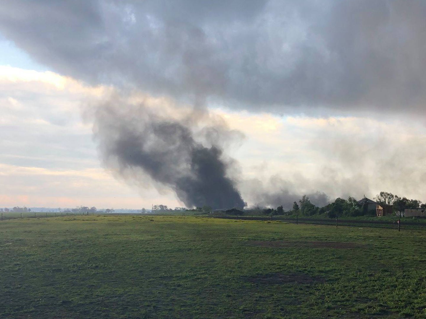
- Courtesy NWS Newport/Morehead City
The National Weather Service Newport/Morehead City Weather Forecast Office Assessment Team traveled to Swan Quarter Saturday to further investigate Friday’s weather incident, which was first said to be a tornado. The NWS team investigated damage, spoke to eyewitnesses and reviewed photographs and videos and determined that the area experienced a gustnado, not a tornado, with top winds of 80 miles per hour.
“The key to this survey was multiple videos and eyewitness accounts that all showed or stated the rotation started from the ground up and for a large period of time was not connected to any cloud base,” stated information from NWS Newport/Morehead City. “While other videos showed a connection to the cloud base this was later in the evolution of the gustnado and after it had originally formed from the ground up and continued to lift upward toward the cloud base.”
The statement also explained that gustnadoes “often form on the leading edge of stronger winds well ahead of the actual thunderstorm itself.”
Courtesy NWS Newport/Morehead City
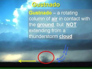
The official gustnado definition from NWS is:
A gustnado is a small, whirlwind which forms as an eddy in thunderstorm outflows. They do not connect with any cloud-base rotation and are not tornadoes. Since their origin is associated with cumuliform clouds, gustnadoes will be classified as Thunderstorm Wind events. Like dust devils, some stronger gustnadoes can cause damage.
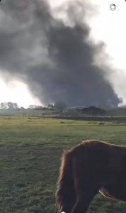
CourtesyHyde County Sheriff’s Office
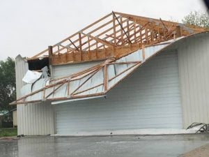
Hyde County Sheriff’s Office

Hyde County Sheriff’s Office
READ ABOUT MORE NEWS AND EVENTS HERE.
RECENT HEADLINES:


