Hurricane Florence: Now we wait
Published 9:25 pm Wednesday, September 12, 2018
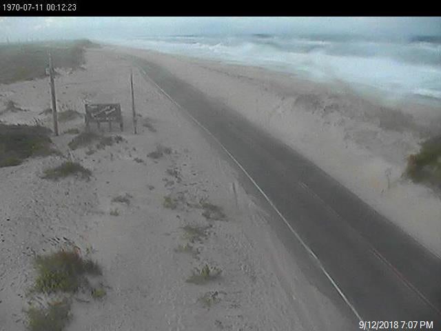
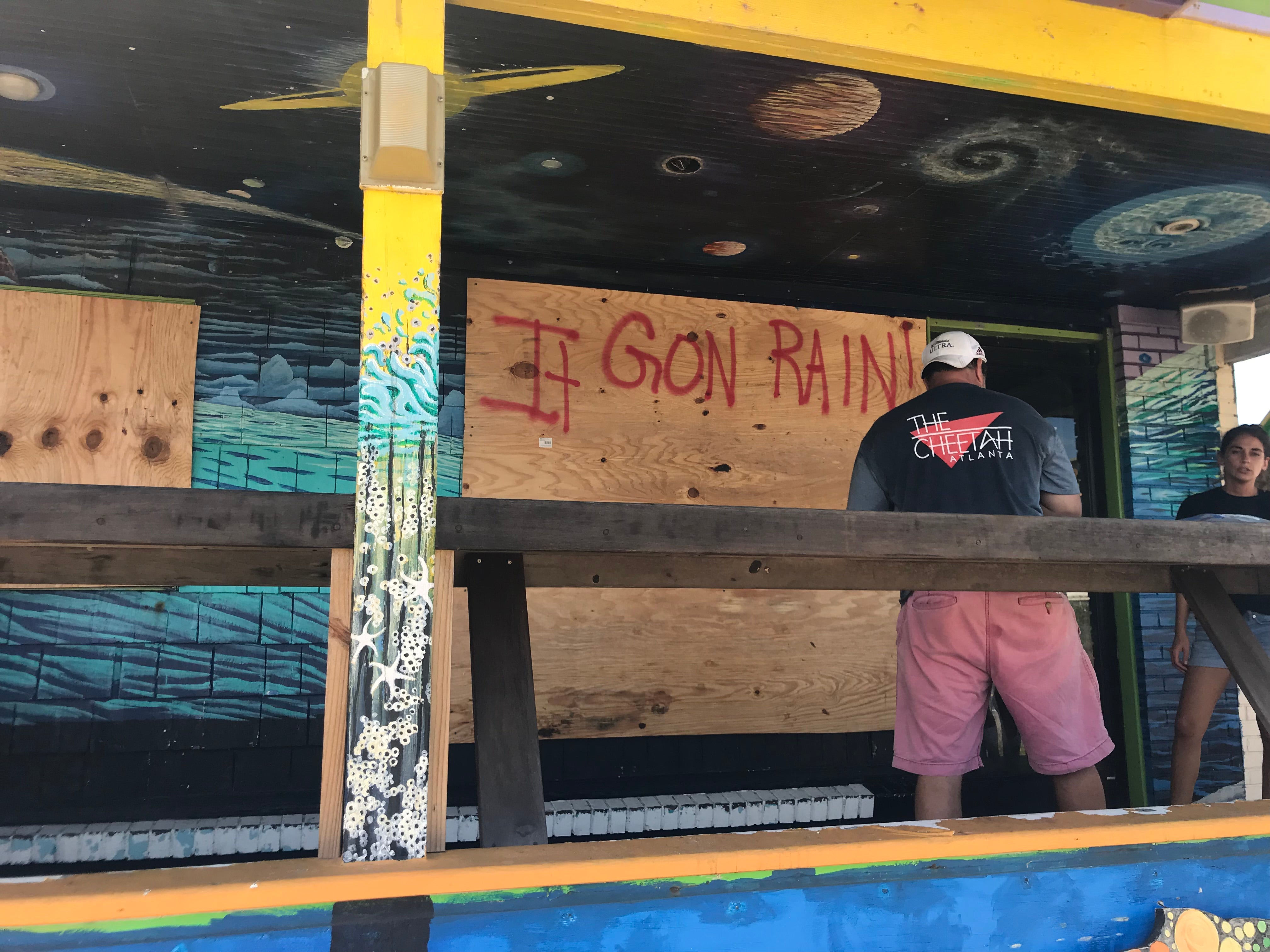
The evacuees are gone, everything’s boarded up and battened down, the wind’s picking up and an empty stillness has settled in.
A hurricane warning remained in effect for most of Dare County Wednesday night, though it appears the Outer Banks will be spared the worst of Hurricane Florence, which continued its swirl toward the NC/SC coastline late Wednesday as a Category 3 storm with maximum winds of 115 mph.
If you need to leave Dare County via the Wright Memorial Bridge and hope to come back before the storm, restrictions on southbound entry begin at 8:30 a.m. tomorrow.
Once restrictions are in place, only essential personnel with a Critical Needs Pass issued by Currituck County Emergency Management or a Priority One Pass issued by Dare County Emergency Management will be allowed entry into Dare County.
The last ferry from Ocracoke ran Wednesday morning. In all, the NC ferry system transported 2,181 people and 1,074 vehicles since Monday’s evacuation orders.
As of 5 p.m. Wednesday, the National Weather Service Morehead City office outlined the following expected weather impacts for the Outer Banks in Dare County:
- Peak wind forecast: 45-55 mph with gusts to 70 mph
- Window for tropical storm force winds: early Thursday morning until Saturday morning
- Peak storm surge inundation: The potential for 4-6 feet above ground somewhere within surge prone areas
- Window of concern: through early Sunday afternoon
- Peak rainfall amounts: Four to eight inches, with locally higher amounts


